en-counter-maps: Second Response
Sarah Bond is Assistant Professor of Classics at the University of Iowa. ORCID: 0000-0002-0114-9144
Received 2017-07-25
This piece is a response to Pálsson and Aldred's en-counter-maps
Citation: Bond, Sarah. 2017. "en-counter-maps: Second Response". Epoiesen http://dx.doi.org/10.22215/epoiesen/2017.3
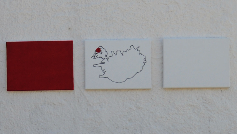
The map is a lens through which to distill, to view, and often to isolate. Through maps, we can insulate aspects of a tangible landscape, visualize a fictional realm, or underscore connections. In Gísli Pálsson’s and Oscar Aldred’s article, “EN-COUNTER-MAPS,” the relationship between art and archaeology is explored in a new and exciting way by applying the simplified filter of the map. What was at first striking to me about the article is the focus on the viewpoint of the audience. The planimetric map allows the viewer to inhabit the position of a deity from above, while a more profiled map of a city or a site allows for the viewer to feel more embedded within the landscape already. By juxtaposing roads on both an aerial and profiled level within one photograph, you get simultaneous experiences of the same features from different angles; the abstract next to the organic. What I found most interesting about this article was the ways in which it made the reader confront how we abstract space and the ways in which these abstractions can decrease the humanity of a space. I felt more viscerally connected to the archaeological site when I viewed the buildings, roads, fences, and the direct, rather than the aerial maps placed upon them. That was, until I saw the abstracted features inscribed directly into the dirt, the grass, and the landscape itself. Being reminded of the ephemeral nature of these installations was also a point of reflection. In archaeology, we are often so focused on preservation that returning something to the earth in order to allow for decay is only rarely confronted.
Cover Image "Image taken from page 10 of 'Noticias históricas y estadísticas de Durango, (1849-50) ... Con un plano y dos vistas de la capital'" British Library
Masthead Image Pálsson and Aldred.